The Running Trail Map
Posted on Mar 08, 2008 under Trail | 1 Comment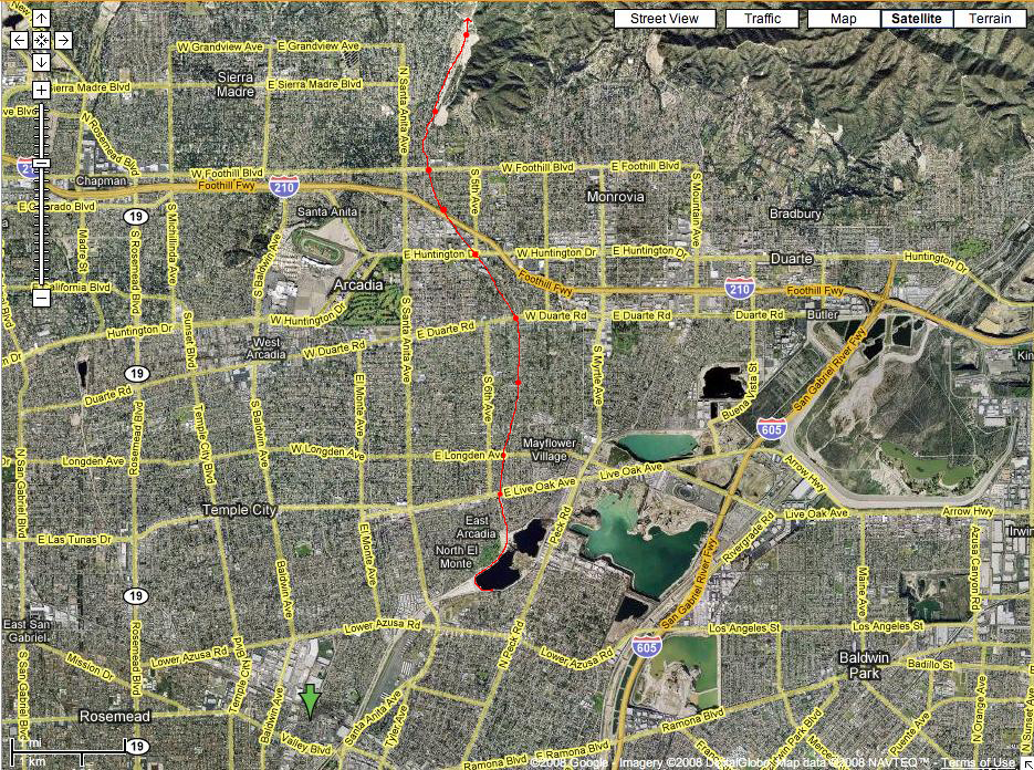
So our high school has been running on this trail for many many years, won many champsionships (even a state championship) training on this trail. It begins as a bike road along a wash, going along a golf course (there are horror stories about driving range nuts trying to behead us with golf balls). Once we get to the first street (Live Oak), it is pretty much all trail or dirt. This Google Map shows the trail from beginning to end. For a better look, check out the original Google Map that I screen-grabbed this from.
I think my next post will be the first entry in the running log/journal that I kept during my Junior year in high school.